Application Description
The BP Fatár application is the official tree and park cadastral tool of FőKERT, designed to provide comprehensive access to public tree and park cadastres. This user-friendly app not only features the main garden's cadastre but also includes detailed cadastres from several district municipalities, including:
- I. district municipality
- VI. district municipality
- X. district municipality
- XI. district municipality
- XIII district municipality
- XIV. district municipality
- XVIII district municipality
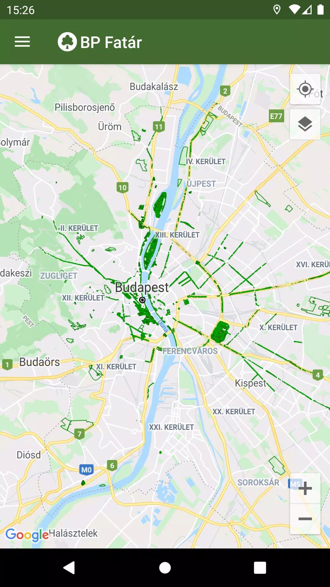
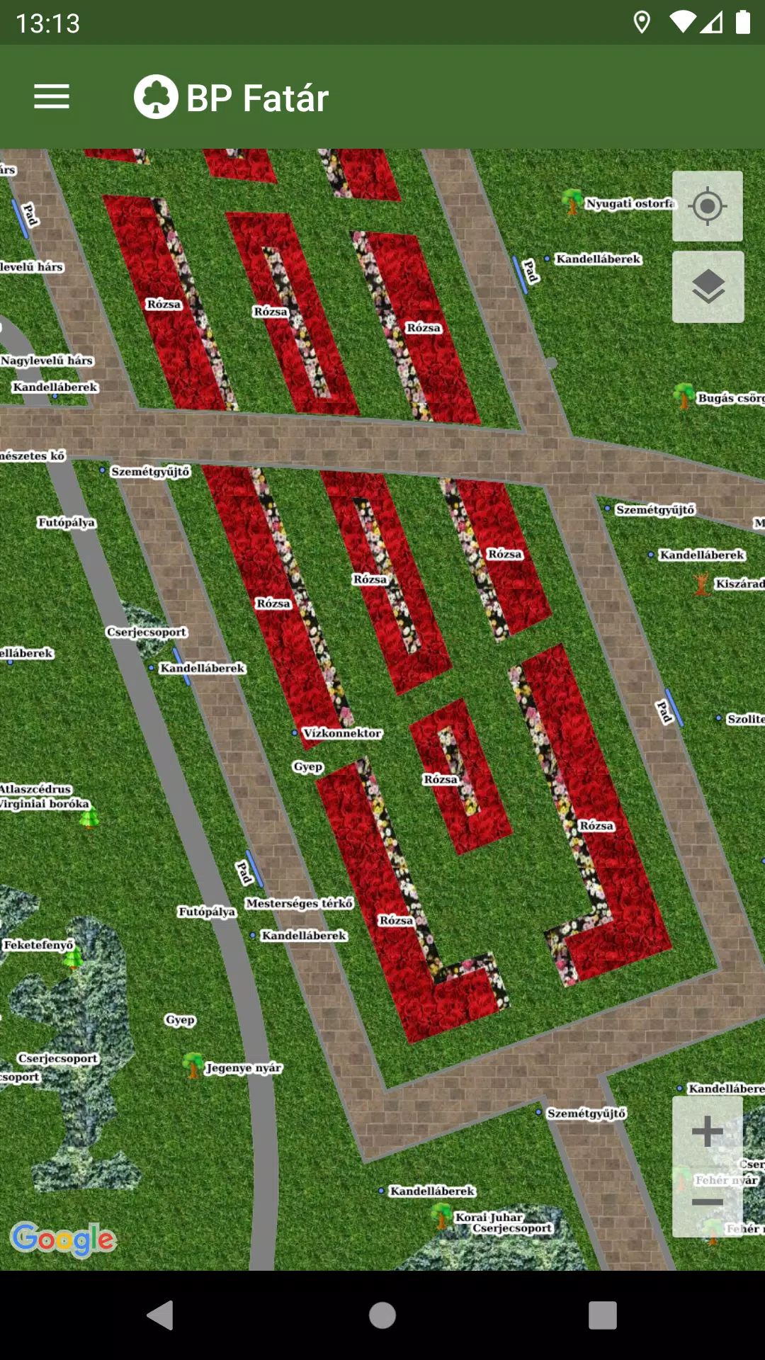
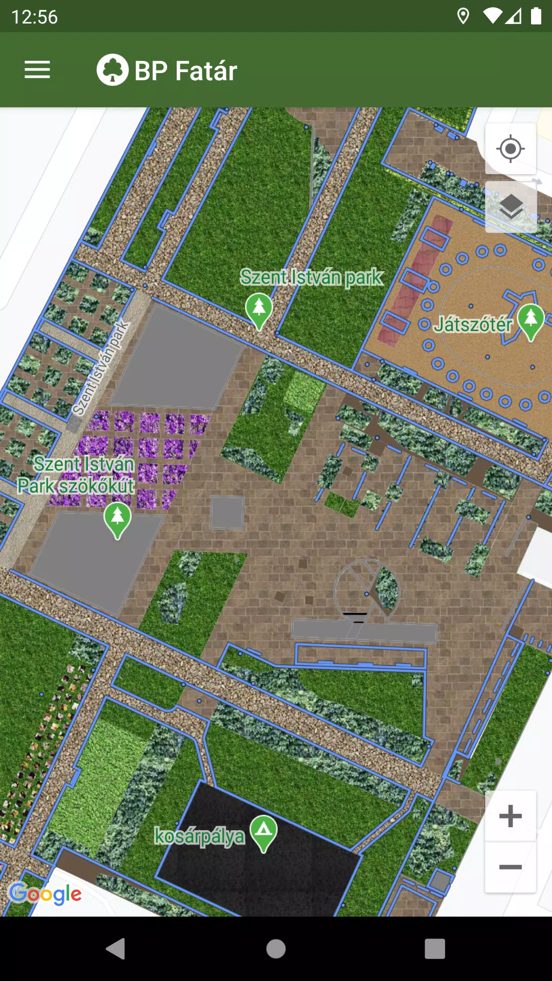
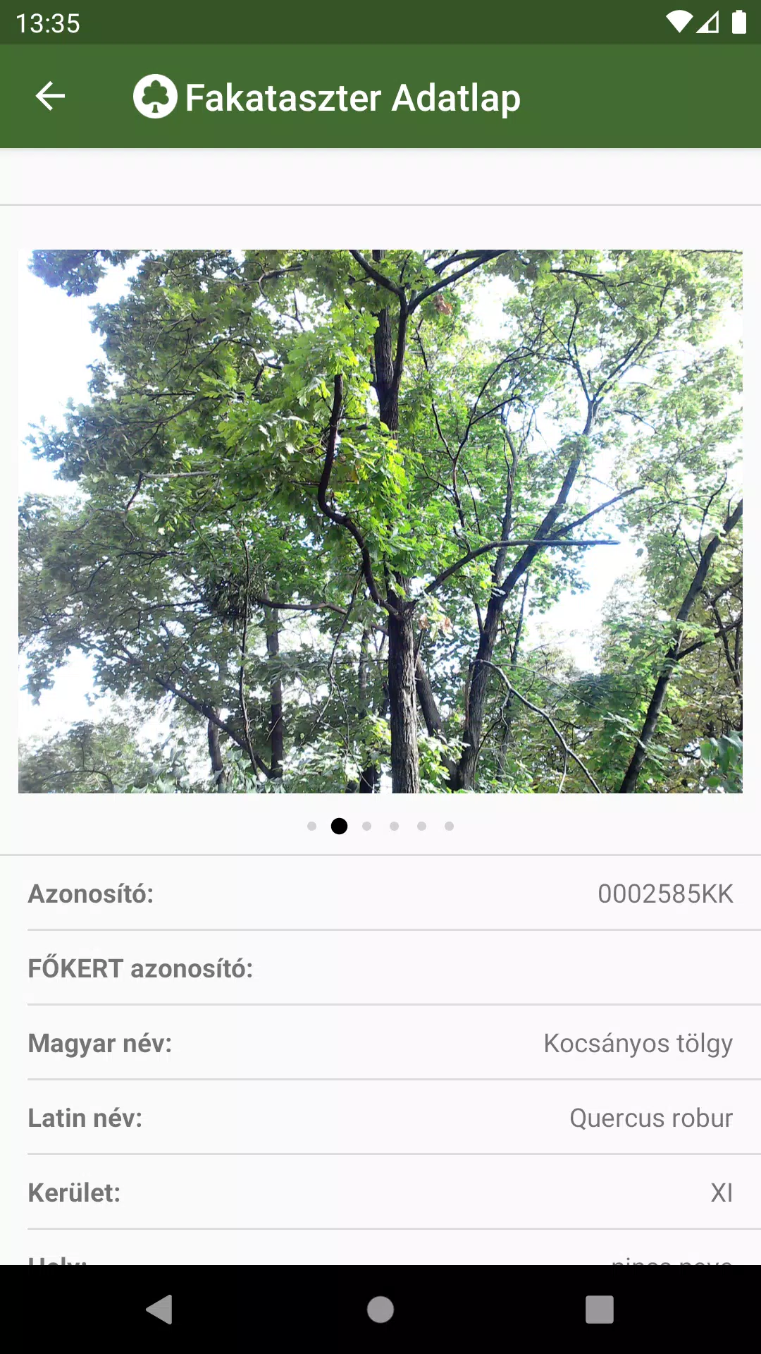
To explore these cadastres, simply navigate to your area of interest on the map within the app. By clicking on the points, lines, or surfaces that represent cadastral elements, you can access detailed data sheets. These sheets provide valuable information about the selected elements and include accompanying photos, enhancing your understanding of the local green spaces.
To further assist with navigation, BP Fatár features a sophisticated search engine:
- Search for specific tree species using the tree scanner, which supports both Hungarian and Latin names.
- Search through categorized groups within the park cadastre for a more organized approach.
Both search options will display the locations of all matching cadastral elements directly on the map, making it easy to pinpoint your desired information.
Additionally, the app empowers users to actively contribute to the maintenance of these public spaces. If you encounter issues such as a damaged tree or bench, you can report them directly to the data manager listed on the element's data sheet by clicking the "Error Report" button.
What's New in the Latest Version 1.5.2
Last updated on Oct 20, 2024
Bug fixes have been implemented to enhance the overall performance and user experience of the BP Fatár application.
Maps & Navigation


 Apps like BP Fatár